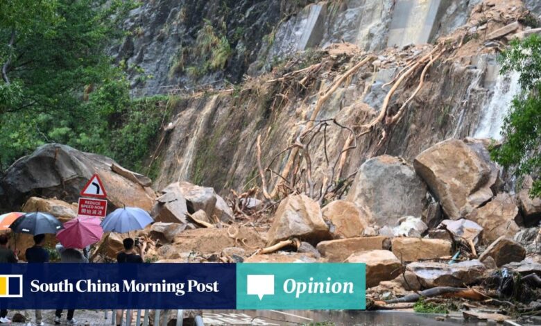
Opinion: How Hong Kong can prepare for the next freak rainstorm

As such, it is fairer to say the recent rain event is comparable to those epic rainstorms, when considering both flooding and landslide risks.
Furthermore, we should be aware that climate change will bring more torrential rain: a warmer atmosphere will be able to hold more moisture and therefore the rain will be heavier when it falls.
Due to climate change, the return period of heavy rain – or length of time between major rainstorms – has fallen by half from a century ago, and will further decrease.
The lessons learned from the recent event could of course be useful in identifying areas for improvement, but I would suggest undertaking a systematic citywide assessment of physical climate risk so that the locations most at risk of flooding and landslides can be identified.
This would not only support the government in targeting available resources at upgrading the most critical infrastructure, but would also assist the private sector and individual owners in understanding the climate risks their assets face.
The day our visionary flood control failed the test of climate change
The day our visionary flood control failed the test of climate change
Such assessments have been undertaken in other countries and have resulted in the publication of risk and hazard maps for natural disasters, including floods, landslides, typhoons and storm surges. A recent example is the creation of a heavy rain hazard map for the German federal state of North Rhine-Westphalia, after Germany was hit by record-breaking floods in July 2021 that claimed more than 180 lives and caused losses of €33 billion (US$35 billion).
There is a limit to how much infrastructure can be upgraded cost-effectively to address climate resilience. Another important upgrade that the government may wish to consider is that of our emergency response system for natural disasters. Currently, the government’s Emergency Monitoring and Support Centre is activated when the No 8 tropical cyclone signal or black rainstorm warning is hoisted.
Would we have had enough lead time to mobilise emergency teams to evacuate people from dangerous locations? Or at least to give specific groups of people an SMS warning via the Emergency Alert System? Would we have known where dangerous locations would crop up, given the highly dynamic nature of rainstorms?
Elsewhere in the Greater Bay Area, the Department of Emergency Management of Guangdong province kept the emergency response for flooding at Level IV on September 5, when Haikui entered Guangdong, before raising the response to Level II, the second highest level, soon after midnight on September 8.
Would it make a difference if Hong Kong adopted a similar approach so that our emergency teams will be ready to act when extreme weather hits? Or should we at least enhance our communication with our mainland counterparts so as to stay vigilant?
I am positive on the last point, encouraged by my experience, as Hong Kong Observatory director, during the preparation for Mangkhut in 2018. The first-ever joint typhoon conferences were held with the China Meteorological Administration and the Macao Meteorological and Geophysical Bureau a couple of days before Mangkhut hit, with useful exchanges of views on forecast and warning strategies.
It’s worth taking note that, following the exchange, the direct economic loss caused to Guangdong by Mangkhut (HK$15.2 billion or US$1.95 billion) was only half of that caused by Super Typhoon Hato in 2017 (HK$32.1 billion), and much lower than losses caused elsewhere by typhoons of similar strength in the past decade.
Both Hong Kong and Guangdong would surely benefit from any enhancement in communication and even coordination in emergency response.
Shun Chi-ming is a former director of the Hong Kong Observatory and former president of the Commission for Aeronautical Meteorology of the World Meteorological Organisation


