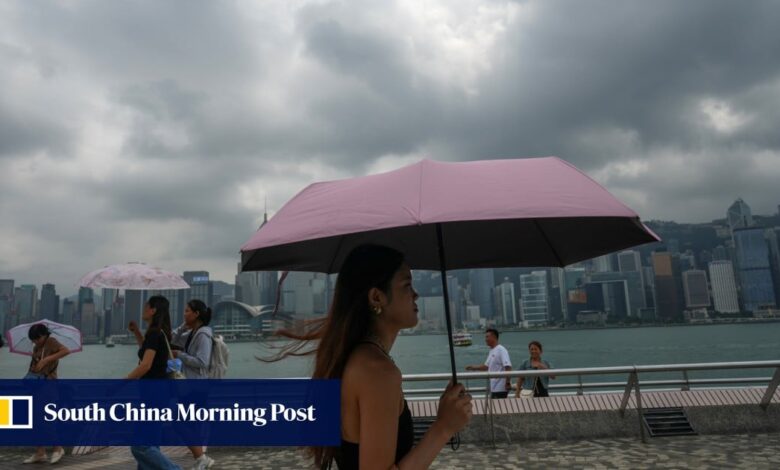
Typhoon Koinu: T1 warning to be issued between Wednesday night and Thursday as storm looms and city logs hottest October day on record

The Observatory said Koinu was expected to move across the southern part of Taiwan towards the coast of eastern Guangdong.
“It will then move westwards, edging closer to the vicinity of the Pearl River Estuary,” it added. “Koinu’s outer downdraft is bringing generally clear skies and extremely hot weather to South China.”
The news came as the west of the city started to suffer a deterioration in air quality.
Air pollution levels in Yuen Long and Tuen Mun were listed as high at 3pm, with Tung Chung the worst affected.
The Environmental Protection Department advised children, the elderly and people with heart or respiratory conditions to reduce outdoor physical exertion and activities, especially in areas with heavy traffic.
Koinu, named after the Japanese name for the constellation Canis Minor, was about 310km east of Kaohsiung, Taiwan, and was expected to move west or northwest at about 12km/h (7.5mph) toward the south of the island.
The Observatory added that, under the influence of Koinu and a northeast monsoon, the weather would be “appreciably cooler” over the weekend, with squally showers and strong northerly winds, especially offshore and on high ground.
The forecaster said in its monthly round-up that September was an “eventful month in Hong Kong with the ferocious strike by Super Typhoon Saola on September 1 and 2, and the phenomenal rainstorm on September 7 and 8”.
Hong Kong to issue T1 alert on Wednesday night as Typhoon Koinu nears
Hong Kong to issue T1 alert on Wednesday night as Typhoon Koinu nears
“Saola was the second most intense tropical cyclone affecting the South China Sea since 1950, and a hurricane signal No 10 was issued in Hong Kong during the passage of Saola,” the weather service said.
It was the first No 10 signal since Super Typhoon Mangkhut hit Hong Kong in September 2018.
The record rainfall last month, associated with a low-pressure trough related to the remnants of Tropical Cyclone Haikui, led to the forecaster issuing a Black Rainstorm Warning that lasted 16 hours and 35 minutes.
The Observatory said that it was the longest alert on record since the introduction of the rainstorm warning system in 1992.
“Mainly attributed to the heavy rain associated with Saola and troughs of low pressure in the first half of the month, the Observatory recorded an all-time high September rainfall of 1,067.1 millimetres (42 inches), more than three times the September normal of 321.4 millimetres,” the weather service reported.
Hong Kong areas hard-hit by last big storm, record rainfall brace for typhoon
Hong Kong areas hard-hit by last big storm, record rainfall brace for typhoon
Rainfall levels exceeded the previous record of 844.2 millimetres in September 1952.
“The rainfall deficit in the first eight months of this year was mostly compensated for by the record-breaking rainfall in September, the Observatory added.
“The accumulated rainfall this year up to September was 2,224.3 millimetres, slightly less than the normal figure of 2,242.8 millimetres for the same period.”
The stormy weather was, however, followed by sunny and very hot weather for 10 days from September 21 to 30.
That also set a record as the longest consecutive run of very hot days for September.
It included the hottest Mid-Autumn Festival temperature on September 29. The maximum temperature hit 33.7 degrees Celsius (93 degrees Fahrenheit) during the day.


